Hispaniola
13 images
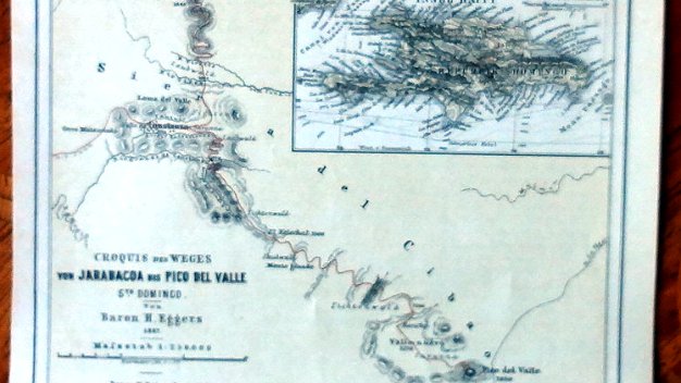
Cibao
11 images
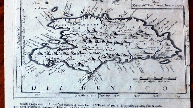
Coronelli
12 images
South America
10 images
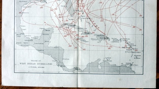
Hurricanes
10 images
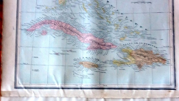
Caribbean
10 images
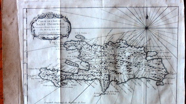
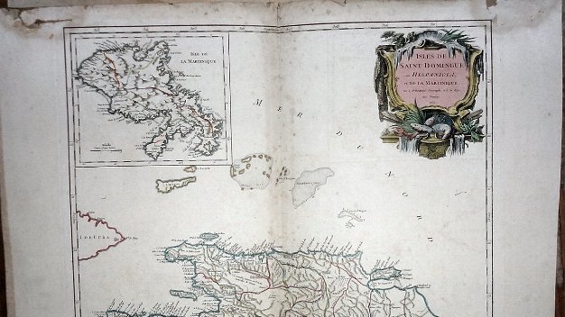
Saint Domingue
10 images

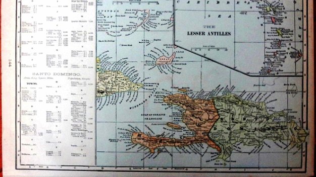
Santo Domingo
12 images

Hayti
9 images

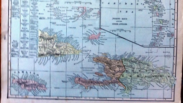
Indias Occidentales
10 images
Haiti
8 images
13 images
11 images
12 images
10 images
10 images
10 images
10 images
12 images
9 images
10 images
8 images


Maps - Mapas